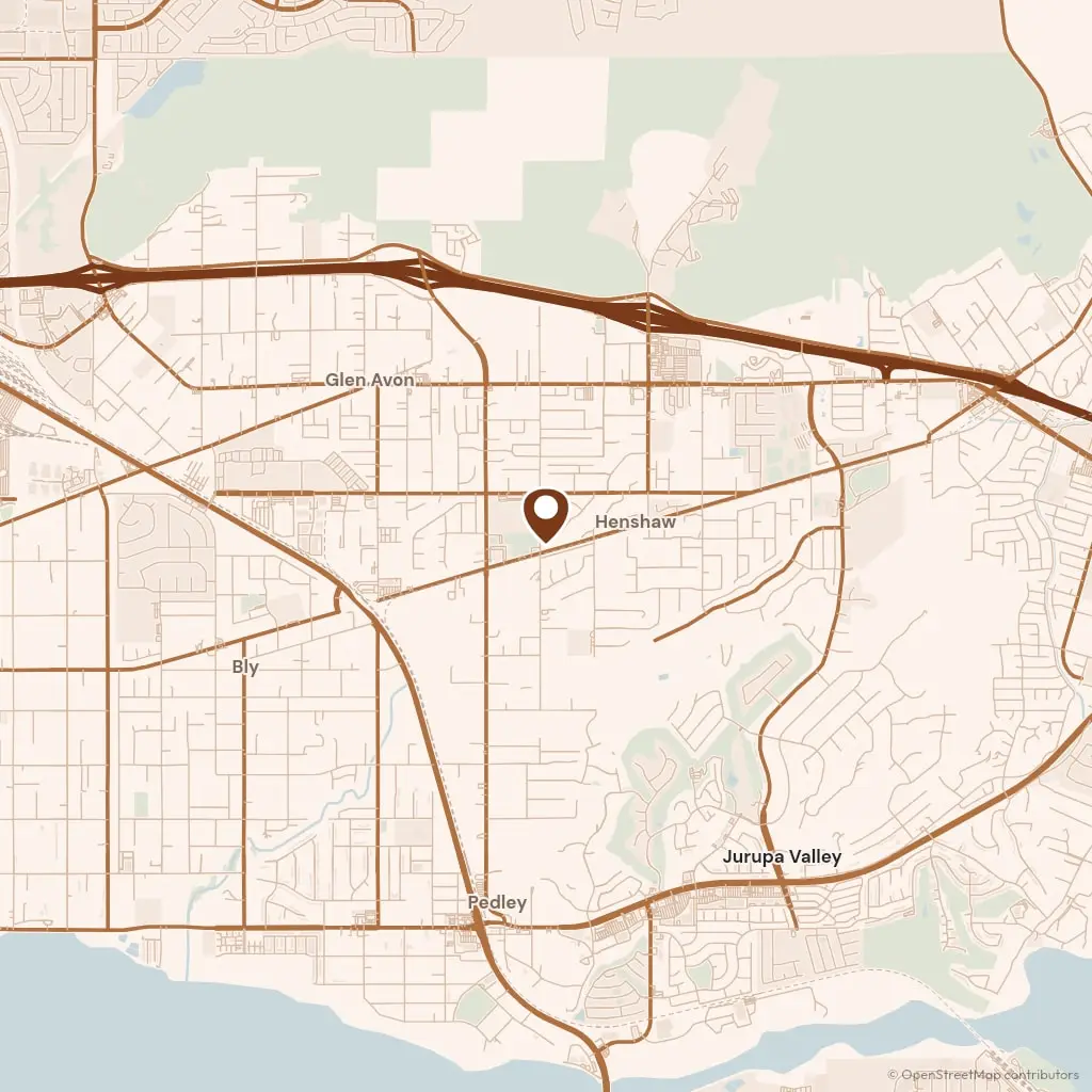
The yard is on Limonite Avenue in Jurupa Valley and the run down the I-215 is the longest we make, so Perris work is booked as whole days rather than a morning call. Plans go to the City of Perris Building and Safety Division, part of Development Services, and applications and inspections both run through the city's own portal. Requirements are published at cityofperris.org.
Perris reads as three towns. The old grid west of the freeway, around D Street and the 1892 depot on Fourth, is pre-war lots on narrow frontages where no two concrete panels are the same age. North and east of the I-215, off Perris Boulevard and the Ramona Expressway, are subdivisions handed over between 1998 and 2015 with bare graded dirt behind every house. Between the two sits the single-story stock of the 1970s and 1980s on lots wide enough to back a mixer to the forms.
Where water goes is the question on the flat. The Perris Valley Storm Drain and the channels feeding it carry off what the basin will not absorb, and a lot that drains to one of them is pitched to that line rather than simply away from the house. USDA Web Soil Survey maps the parcel before we arrive, and we shoot levels across it on the visit, because on ground this flat the eye gets the direction of fall wrong more often than not.